We continued our stop in Valdez with a visit to Worthington Glacier, followed by some more sightseeing around the area destroyed by the earthquake, a couple of museums, and the port of Valdez.
Worthington Glacier
View Larger Map
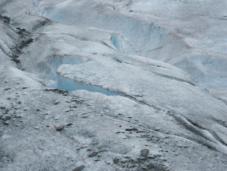
The highlight of our trip up the road from Valdez was a visit to Worthington Glacier. I have become somewhat fascinated by all the glaciers in Alaska. Unimaginable amounts of snow compressed into massive sheets of ice that become so heavy that they actually flow downhill. Icefields so big that they spawn many glaciers, both large and small. Wide, braided rivers that hold more gravel than water, deposited by the receding glaciers. It's all pretty amazing.

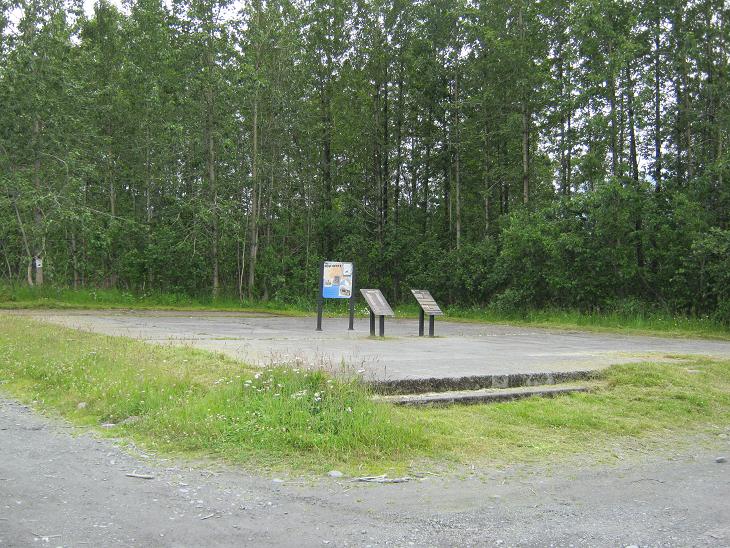
We had seen a preview of Worthington Glacier on the way to Valdez, and today we came back for a closer look. We were able to walk all the way out to the glacier, though for us, it was a pretty rugged hike. You start out with a fairly easy stroll on a paved walk to a viewing platform. From there, you have to find your way across the moraine and streams of meltwater.


We didn't take many pictures on the way up to the glacier, as we were focused on getting there. So we'll start with the pictures at the end of the glacier, showing we really did get there.


On the way back, I took some pictures looking forward and backward, showing the area we had to cross, and caught some flowers growing in the rocks of the moraine. Of course, the hike was a little easier going back down.


Valdez Glacier
You could not actually see Valdez Glacier from the end of the road that went to it - it has apparently receded beyond view. All you could see was the pond that you sometimes have near the end of a glacier, and icebergs. But judging by the size of the icebergs, and the amount of water in the stream that comes from it, there must be a pretty good sized glacier back there.

Museums
We visited two museums while here, but I forgot to take pictures at the first one which focused on Valdez history. The most significant events in Valdez history were the Exxon Valdez spill, which happened about 25 miles up the coast, and the 1964 earthquake. It might have been interesting to see where the spill happened, but the only way to get there would have been by boat, and I didn't want to see it that badly. The other museum was a large collection of Alaskan artifacts. Many of them were items created by natives for the tourist trade, but they were pretty cool anyway. And after all, tourism is part of history also. I was most impressed by the ivory carvings - even the ships are ivory.


And for some reason, I just can't seem to resist taking pictures of good taxidermy.


Backroad


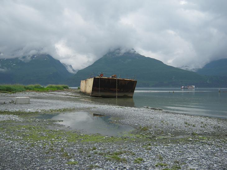
Old Valdez
Valdez was the town closest to the epicenter of the 1964 earthquake. The resulting tsunami destroyed the dock, and did considerable damage to the town, but contrary to popular opinion, the town was not washed away. The buildings that survived were moved a new location, on a little higher ground. All you can see of the old town is the foundation of the old post office. I'm not sure if the old dock remnants and equipment were from that time or not. We also took pictures of the harbor while we were there.