Will the real mile 0 please stand up?
 The first picture here is the mile zero marker most commonly used by tourists for the obligatory photo op, but there are at least two others.
 The story is, that the original marker was knocked down in a traffic accident. The city of Dawson Creek decided to replace it, but thought it would be a good idea to put in the middle of an intersection in the business section, about a block away from the actual start of the highway. The next two shots show two views of that marker, which I call the "bogus mile 0 marker."


Later on, they put up the cairn shown in the first picture, to commemorate the orignal location of the mile 0 marker. Besides those two, there is also a small marker, one that looks more like an actual mile marker. It is close to the road, not far from the commemorative cairn.
Finding mile zero is not the only confusion with the mile markers. The road originally had mileposts, but when Canada went metric, the mileposts were replaced by kilometer posts. This pretty much ticked off the local residents and merchants, and some of them continued to advertise their location at the original mile marker. Then in the 1990's, to celebrate the 50th anniversary of the highway, they put up "historical mileposts" in various locations. Of course in the meantime, the highway had undergone some changes and improvements in the previous 50 years, so the historical markers no longer reflect the actual driving distance.

There is a traffic circle at the intersection where the highway begins. This statue at the middle of the circle represents a surveyor looking in the direction of the highway. You can see the Mile 0 cairn near the right side of the picture, but you might have to expand it to full size to see it very well. The small marker is near the center of the picture, by the light pole at the corner.
We spent some time at the historical museum near here - it was in the old railroad depot, and had a lot of railroad memorabilia as well as other historical artifacts. The grain elevator housed an art museum.
More Dawson Creek
 There was a pioneer village nearby, at historical mile 1, depicting some of the buildings from when the area was first settled. It was not open when we were there, so we were not able to go inside, but you could see some of the buildings from outside the fence. One thing that made me go hmmm..... When I think pioneer village, I think log cabins. These buildings were made from sawed lumber. Since this area was settled much later than, for example, Illinois, they used more modern building methods. You do see historical log cabins around here, but apparently when it came time to build a village, they brought the sawmill with them.
Some of the historical mile markers had informational signs like this one, at historical mile 2, identifying a telephone relay station.
Here is another thing that made me go hmmm..... they called this Rotary Lake. It's more like a pond than a lake. Apparently this is where they go swimming in the summer. It was all locked up, since it's way too early to swim around here, but I did take a picture through the chain link fence.
The Smoke Returns
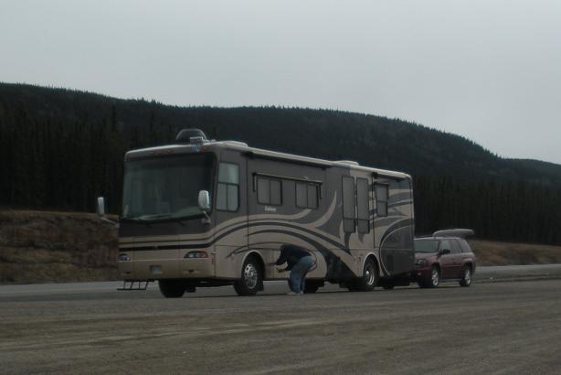
By mid-afternoon, the wind had picked up again, still out of the southeast, and the smoke had returned. We decided the best thing for me was to spend the rest of the afternoon in the air conditioning. We took the opportunity to catch up on laundry, get some groceries and make some progress on catching up the journal.Heading up the highway

Tuesday morning, we woke up to clouds and intermittent rain. This obscured the vision part of the time, but at least the air was clear of smoke. The haze you see in this picture is from the rain.

First Peek at the mountains
We don't actually start across the Rocky Mountains until after Fort Nelson, but today we got just a little peek at what is to come.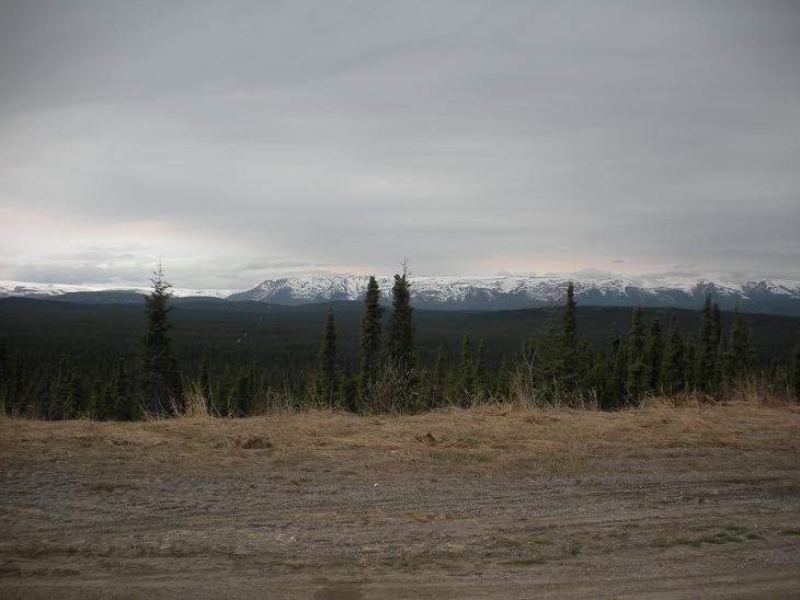

What's next
We stopped for the night at Fort Nelson, British Columbia, at a campground that was right at historical mile 300. Tomorrow we will explore the museum that is there, and then continue our journey on the Alaska Highway.


